FLIGHTBRIDGE · FAA SECTIONAL · AIRSPACE CLASS CHALLENGE
Dallas–Fort Worth Sectional
v2.9.0 · Starting trainer
Free practice
READ THE ACTUAL CHART
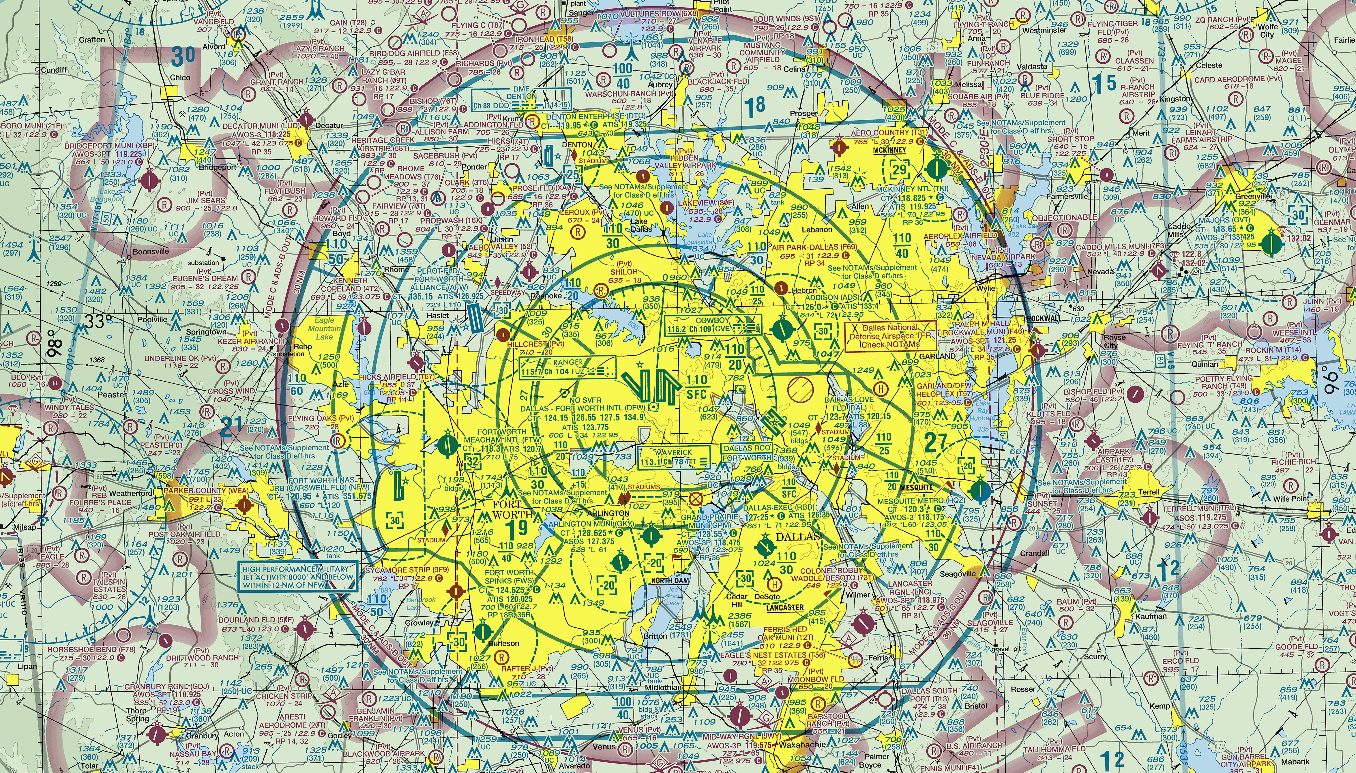
Click anywhere on the FAA chart around DFW
Click anywhere on this actual FAA chart around Dallas–Fort Worth, choose an altitude, and identify the airspace class. Drag to pan and zoom in to inspect boundaries.
For E/G questions, enter the actual terrain elevation at the clicked point from a reliable source. Airport elevation applies only at that airport. This value clears when you select a new point.
Click a numbered point to see its coordinates.